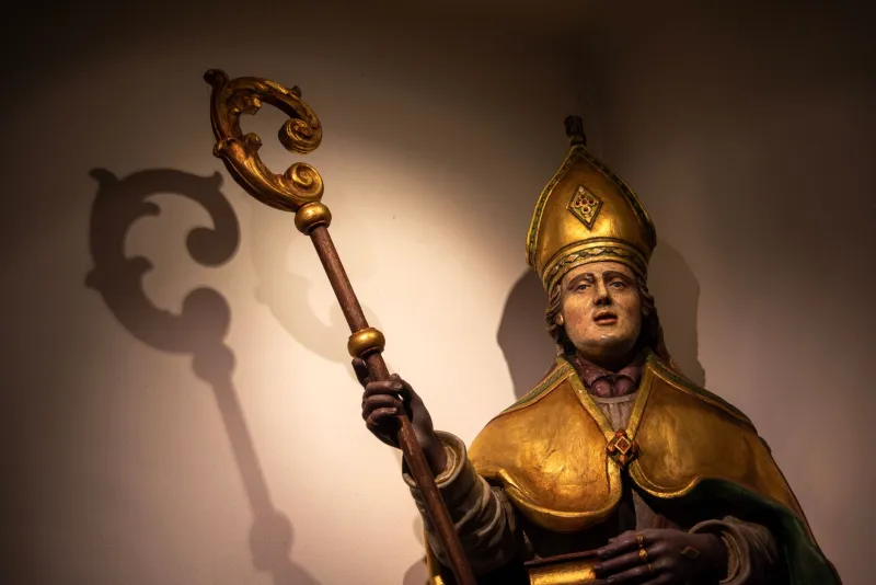
Reading the Gap: Ten Lost St Nicholas Chapels and the Evidence They Left Behind
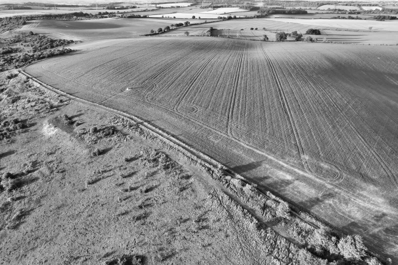
A chapel can disappear without leaving a ruin. Its stones may be reused in a garden wall, its site absorbed by a road improvement, its dedication forgotten once the last incumbent or chaplain moved on. Yet the loss is rarely total. In parishes across Britain, the vanished St Nicholas chapel survives as a shadow on the map: an earthwork in a paddock, a boundary stone at a lane end, a field called Chapel Field on the 2026 Ordnance Survey, or a single line in a tithe apportionment.
For local societies, these absent buildings are not a lesser subject. They are part of the same inheritance as the parish church, the churchyard cross and the guildhall. St Nicholas, patron of travellers, sailors and those in peril on the road or sea, was invoked at bridges, ferries, hospitals and wharves. His chapels were often small, poorly endowed and dependent on a guild, a hospital or a bridge trust. That fragility explains both their number and their disappearance. It also explains why the documentary trail is often richer than the physical one.
Why the absent chapel matters
A standing church tells its story through fabric: Norman doorways, Perpendicular windows, Victorian pews. A lost chapel tells its story through relationships. It marks a crossing, a route, a hospital enclosure, a market square or a coastal settlement now changed beyond recognition. To trace it is to read the local economy and the local landscape as much as the ecclesiastical history.
This matters for conservation. The historic environment record is not only a register of monuments to be visited; it is a working map of community memory. A field name may be the only surviving witness to a chapel that served travellers before a bridge was rebuilt. A boundary stone may preserve the line of a vanished enclosure. If local societies ignore these traces, they risk losing the last evidence through neglect, ploughing, development pressure or simple unawareness.
The evidence trail: where to begin
Start with the Historic Environment Record for the relevant county or unitary authority. A search under 'St Nicholas', 'chapel', 'chantry' and the parish name will often produce a monument record, even where no visible remains survive. Read the record critically: it may rely on an antiquarian note, a place-name observation or a nineteenth-century map annotation.
Next, compare the tithe map and apportionment with the 2026 Ordnance Survey. The tithe schedule may name a close as 'Chapel Field', 'Chapel Yard' or 'Chapel Croft'. The map may show a small rectangular enclosure beside a road, bridge or farmyard. Then check later editions of the Ordnance Survey, enclosure awards, estate maps and the parish guide. Faculty records and bishops' registers can confirm a dedication and a date of suppression or ruin.
Fieldwork should follow desk work, not replace it. Look for low banks, slight platforms, reused stone and unexplained boundary walls. Do not dig, and do not remove finds. Report anything suspicious to the historic environment record and the county archaeologist. Permission from the landowner is essential before entering private land.
Ten map-led entries
The following ten entries are not a definitive gazetteer. They are a practical framework for a local society survey, arranged by the kind of site most likely to have carried a St Nicholas dedication.
-
The bridge chapel at the old crossing. Look for a small building shown on an early map at one end of a bridge, often later absorbed into a toll house or cottage. Check bridge trust accounts and quarter sessions records for a chaplain's stipend.
-
The hospital chapel within later almshouses. Many medieval hospitals served travellers and the poor under St Nicholas. The chapel may survive as a room within a later range, or as a foundation outline beneath a lawn. Read the hospital's cartulary and the almshouse trust deeds.
-
The guild chapel behind the market square. A merchant guild might maintain a chapel in a churchyard corner or over a market house. Look for a blocked doorway, a separate roofline or a guild account naming 'St Nicholas' light' or 'St Nicholas' chapel'.
-
The haven chapel at the wharf. Coastal and estuarine settlements often had a small chapel near the quay for sailors before or after passage. Check harbour commissioners' records, customs papers and local directories. The site may now lie under a car park or a boatyard.
-
The wayside oratory at the crossroads. A tiny chapel or cell may be remembered only by a field name at a junction. Examine enclosure awards and road diversion orders. A chapel boundary stone or a fragment of masonry in a hedge bank may be the only surface trace.
-
The chapel of ease in the hamlet. Before a district church was built, a hamlet might have a chapel served from the mother parish. The building may have become a barn, a schoolroom or a cottage. Compare the 2026 map with the tithe map for a building shown in an isolated plot with a burial ground attached.
-
The chantry chapel in the churchyard corner. A separate chantry building, often dedicated to St Nicholas, might stand within the churchyard or beside it. Look for a rectangular platform, a stone plinth or a line of reused gravestones. Churchwardens' accounts may mention repairs to 'the chapel in the churchyard'.
-
The ferry chapel on the estuary. Ferries were dangerous crossings and attracted small religious foundations. Search place names such as 'Chapel Point', 'Chapel Ness' or 'Chapel Pill'. Check ferry accounts and the parish guide for a lost chapel serving passengers.
-
The chapel at the manor gate. Some manorial chapels carried a St Nicholas dedication, especially where the lord controlled a market or a road. The site may be visible as a garden terrace or a raised platform beside a farmhouse. Manorial court rolls and estate maps are the key sources.
-
The coastal chapel lost to erosion. On the Suffolk and Norfolk coasts, whole settlements have gone into the sea. A St Nicholas chapel may be recorded in a late medieval will, a map of the 1580s or an antiquarian drawing. The site may now be beach, saltmarsh or open water. Record the documentary evidence before it is lost from memory.
From desk to field
A local society survey should be modest in its claims. A field name is not proof of a chapel; it is a prompt for further research. An earthwork may be a building platform, a pond bay or a quarry spoil heap. The discipline lies in assembling several independent strands: documentary, cartographic, place-name and, where possible, archaeological.
When evidence is thin, say so. Publish a short note in the society journal or on the historic environment record. Offer the county archaeologist a copy of your map regression. If the site lies on a public footpath, consider a guided walk with the landowner's permission. If it lies on private land, interpret it from the lane or the village hall.
A place on the programme
Patronal festivals need more than one building. A St Nicholas programme that visits only the grand survivals can imply that the saint belongs to the well-preserved parish. The lost chapels tell a different story: of travellers, ferrymen, guilds, hospitals and coastal communities. They are the absent members of the congregation.
In 2026, local societies can put them back on the map. A winter lecture on 'The Chapel in the Field' can sit beside a churchyard survey. A summer walk can follow a bridge chapel, a hospital site and a guild chapel in one afternoon. A recording project can photograph boundary stones and field-name signs before they are lost. None of this requires excavation or expense. It requires curiosity, care and a proper respect for the records.
The 2026 Ordnance Survey will not show a chapel where only a field name survives. But it will show the field. That is enough to begin.