Names on the Ground: A 2026 Local Society’s Guide to St Nicholas Byways and Boundary Marks
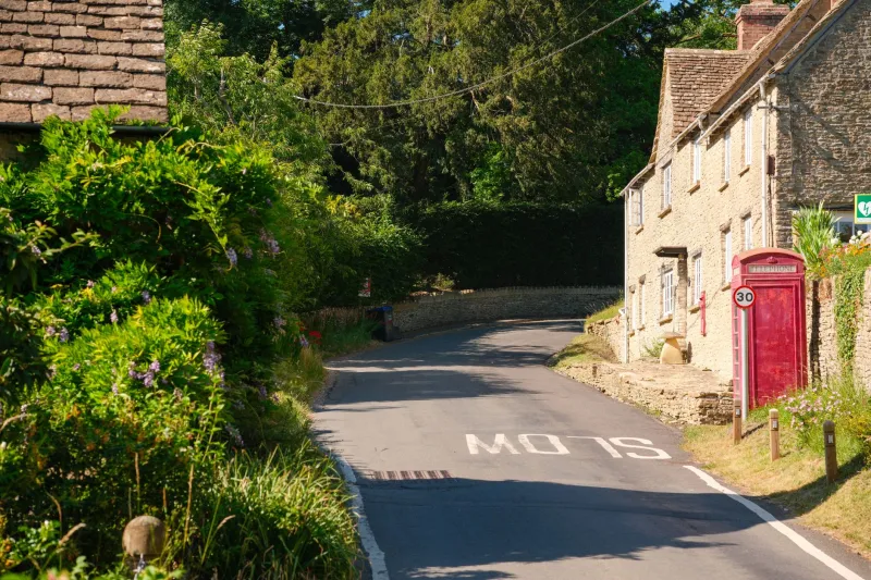
The feast of St Nicholas is most visible in church dedications, but a second and less obvious record survives in the names of lanes, closes, farms, mills and boundary marks. These names rarely attract the attention given to a medieval screen or a stained-glass window. Yet they can preserve traces of medieval devotion, patterns of landownership and later reinvention, and they are often more fragile than the fabric of a listed building. For local history societies, a focused audit in 2026 is both a research project and a conservation exercise.
Beyond the church dedication
A St Nicholas dedication to a parish church is straightforward evidence of patronage. A St Nicholas Lane, Close, Farm or Mill is less easy to interpret. The name may refer to land once held by a religious house, a guild or a chapel; to a fair held on the saint’s day; to a holy well; or simply to a local habit of naming a route or field after a familiar intercessor. St Nicholas was invoked by sailors, merchants, travellers and children, and his cult left marks in ports, market towns and rural parishes alike.
Caution is needed. Not every St Nicholas name is medieval. Some belong to Victorian estate planning, suburban expansion or even modern development naming. A useful audit therefore does not ask merely whether a name is old, but when it first appears, what feature it described and how it has changed. The aim is to distinguish genuine historical evidence from later invention, and to record both.
Six steps for a local audit
1. Build a working list
Begin with the names that can be found today. Council street gazetteers, local directories, newspaper archives, modern and historic maps, and the knowledge of society members will all contribute. Record each name with its settlement, current feature type, approximate grid reference, earliest known date and source. Classify entries as lane, close, farm, mill, boundary mark, field name or other. A simple spreadsheet is sufficient, but consistency matters.
2. Check tithe maps and apportionments
Tithe maps and apportionments, usually compiled in the 1836 to 1850s, are among the most useful sources for field and close names. They may preserve a St Nicholas name that has since disappeared from maps, or show that a modern street name has been transferred from an older field. Note the plot number, name, acreage, land use and document reference. Some tithe maps are digitised; others remain in local record offices or The National Archives. Always record the repository and reference, not merely the image.
3. Compare Ordnance Survey editions
The first edition Ordnance Survey sheets at 1:10,560 and 1:2,500, together with later revisions, allow a name to be traced across time. Look for spelling variants, relocation and disappearance. A St Nicholas Close may appear first as a field, then as a farm, then as a suburban street. Note sheet numbers, dates and editions. This sequence often reveals more than a single map, and it helps to separate medieval survival from Victorian or twentieth-century naming.
4. Search local archive catalogues
Deeds, estate plans, enclosure awards, manor court rolls, sale particulars and guild records can add depth. Search local record office catalogues and The National Archives’ Discovery service for St Nicholas and its variants, including Saint, St, Nich. and Nichols. Do not overlook maps in private collections or society archives. A single estate plan may show a lane, close and boundary stone together, with the name attached to a particular owner or tenant. Record every reference carefully so that later researchers can follow the trail.
5. Walk the ground and record the fabric
A field visit should record what survives, not only what is written. Street nameplates, boundary stones, farm nameplates, mill buildings and gateposts may all carry the name. Photograph each feature with a scale and a grid reference, and note its material, lettering, fixings and condition. Do not move, clean or remove boundary stones. Seek permission where land is private, and record from public roads or rights of way where access is uncertain. Oral history from long-standing residents can also explain local pronunciations and former locations.
6. Deposit and share the record
An audit is only useful if it survives. Deposit a copy with the local Historic Environment Record, the relevant archive and the parish or town council. Share a summary with the council’s street naming and numbering function, particularly where historic signs are at risk. Publish a short note in the local society journal and, where appropriate, propose local listing or sympathetic repair. A consistent format will make the record more valuable to future researchers and to conservation officers.
The conservation imperative
Street nameplates and boundary stones are easily lost. Replacement programmes, road schemes, weathering, theft and redevelopment can remove them with little public notice. Early recording gives a local society evidence to argue for retention or careful re-siting. It also creates a record when a name survives only in an archive. The audit should therefore be treated as a form of quiet custody: not a campaign against change, but a disciplined attempt to ensure that change does not erase the evidence unnoticed.
For 2026, the most useful contribution may be modest: a complete list, a set of dated photographs, a map and a clear archive reference. That is enough to turn a scattering of familiar names into a coherent local record, and to give the next generation of historians something firmer than memory.